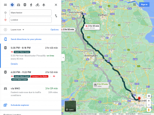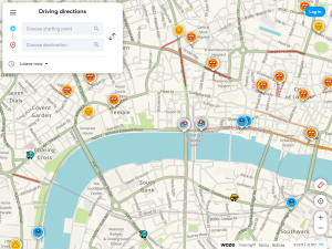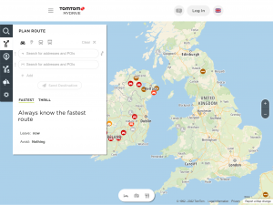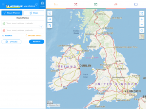
Route Planner
Our world is becoming more and more complicated, and we are always looking for ways to simplify things in any way we can. One of these conveniences is a routing map. This small wonder can plan our trip with multiple destinations, and there are many options on how to do route planning.
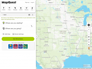
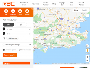
Route Planner allows users to add addresses, find directions, and even enter multiple addresses.
Other Useful Route Planners
Why should you use a route planner?
Of course you can choose to just follow the signs on the road, because eventually you will get there, right? That’s right, but that can cause extra travel time and unexpected surprises. For example, you only find out at the last minute that you have to take a detour of more than half an hour, while you had only detoured for ten minutes with a route planner.
Depending on which route planner you use, you also have additional functions. Think of speed camera reports, estimates of how long a traffic jam will last, the cheapest gas stations in your area at a glance and much more.
How does a route planner get information?
The best route planner should be always up to date as possible, so how does a route planner get informations? A large part of that depends on satellites and open source map sources, but a large part also depends on the users. The roads and traffic jams are automatically updated by satellites. Current information such as accidents, road debris, speed cameras, and wildlife are reported by users and open source informations. There is also a section that is updated by automatic systems, such as the current prices of gas stations and the times of ferries.

